Most of the East Anglian Landscape has been shaped by man, very few untouched areas remain, most have been changed due to farming needs, some like the Norfolk Broads were formed due to peat digging.
The Fens have been changed due to drainage for reclaiming the land for agriculture, once an extensive area of wet fen that stretched from Cambridge to the South and Lincoln in the North now only a few areas of this wetland remains.
Drainage started in the mid 1600’s and actually finished in the 1800’s, there are many books that tell’s you the history of this area but the main drainage was carried out by using the existing Old Bedford river taking out the curves and bends to make one long straight ‘drain’ or cut, then parallel to this a new cut was dug the Bedford New river, dug by hand using prisoners of war from France and Scotland a wash was created 20 miles long and 1/2 mile wide separated by the two cuts.
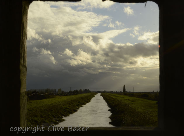
Bedford new cut from footbridge at WWT Welney
They say most of the prisoners were buried where they died digging the drains, but what they have preserved is the way the people who lived around the fens used the land before it was drained and that is for grazing cattle in the Summer and when the cattle was moved in Winter to higher ground like Ely they used the fen for wildfowling and fishing.
Today the landscape is flat and open making it a land of Big skies, in fact it could be called the bread basket of Britain for the amount of crops now grown in the fertile peat soil, but it does have some of the most amazing dawns and sunsets.
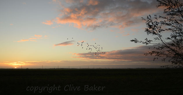
Dawn breaks over the Fenland countryside as Lapwings take to the air

Winter crops sprout in the Autumn dawn in the rich fenland soil
